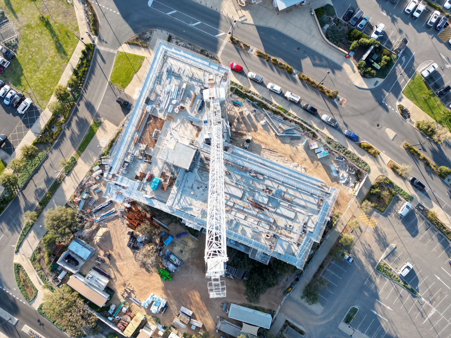
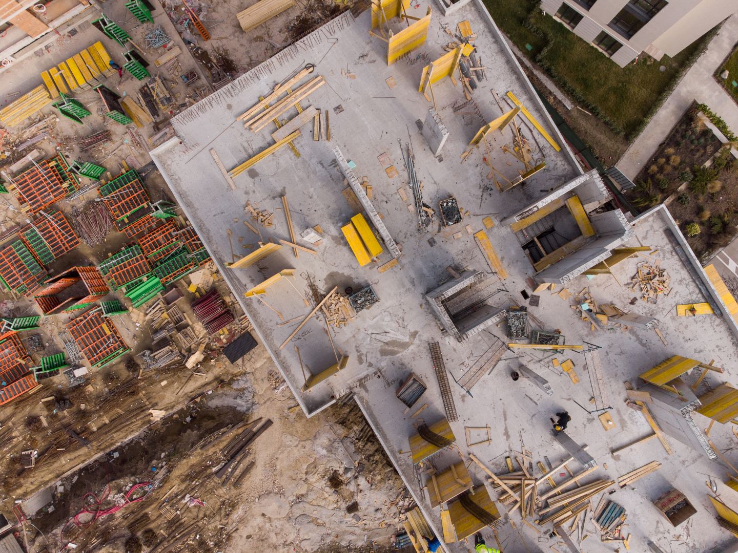
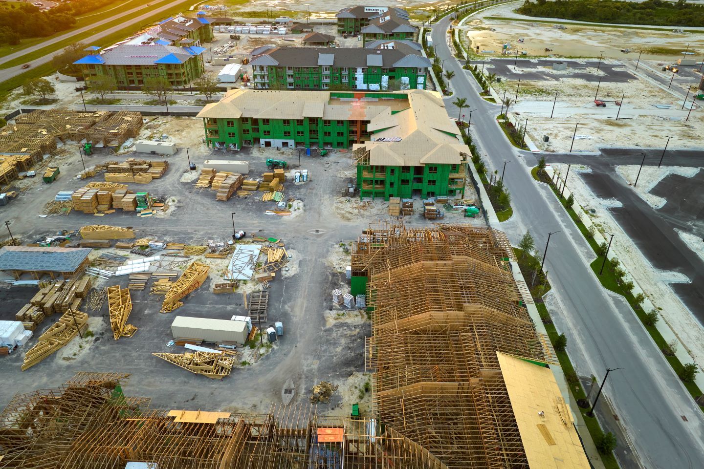
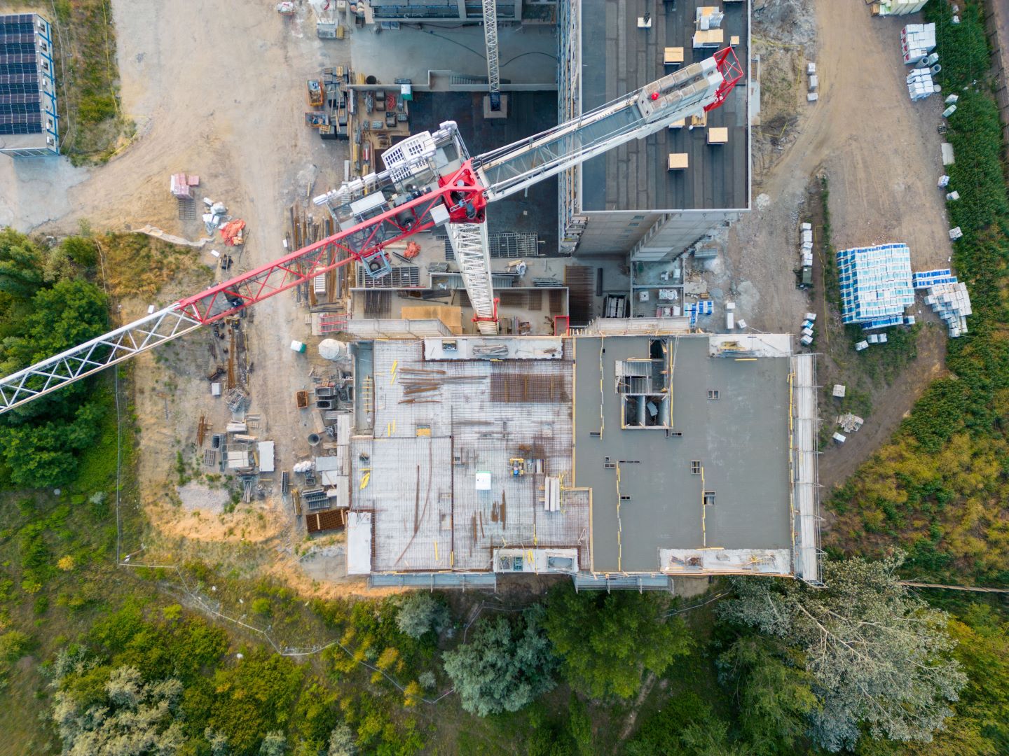
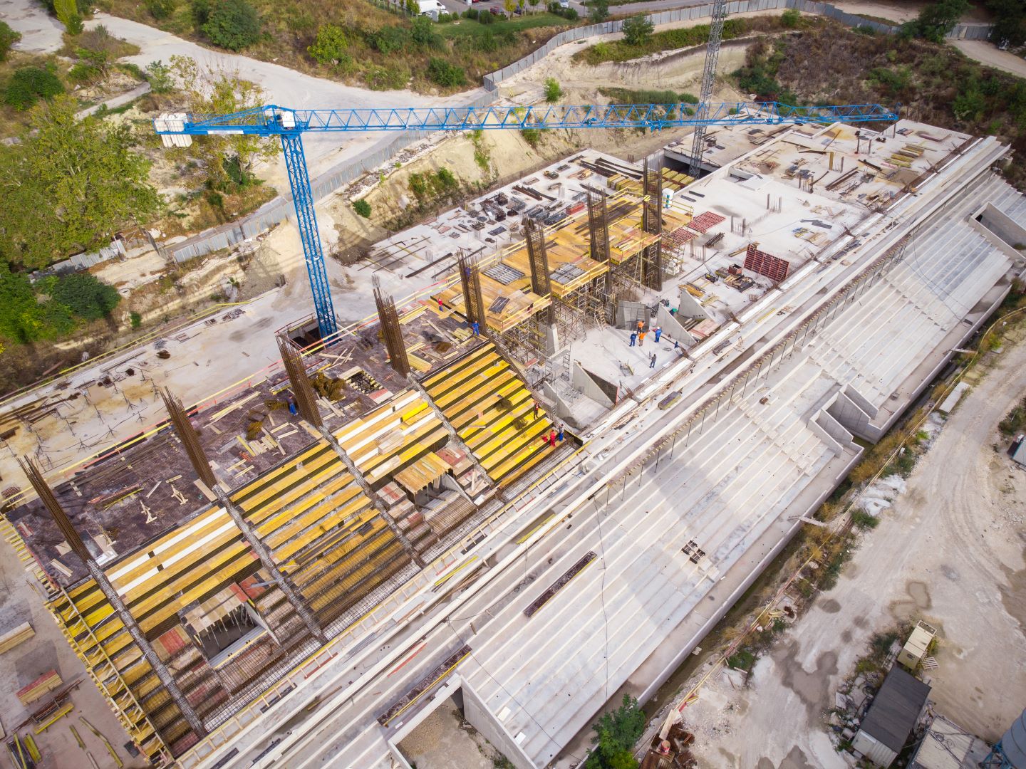
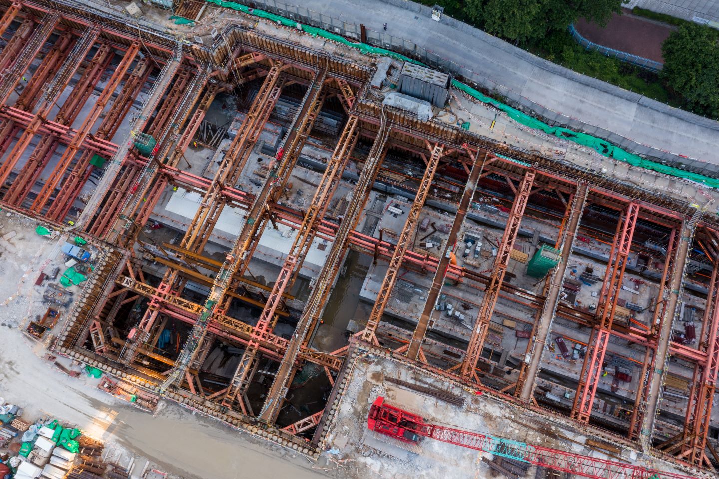
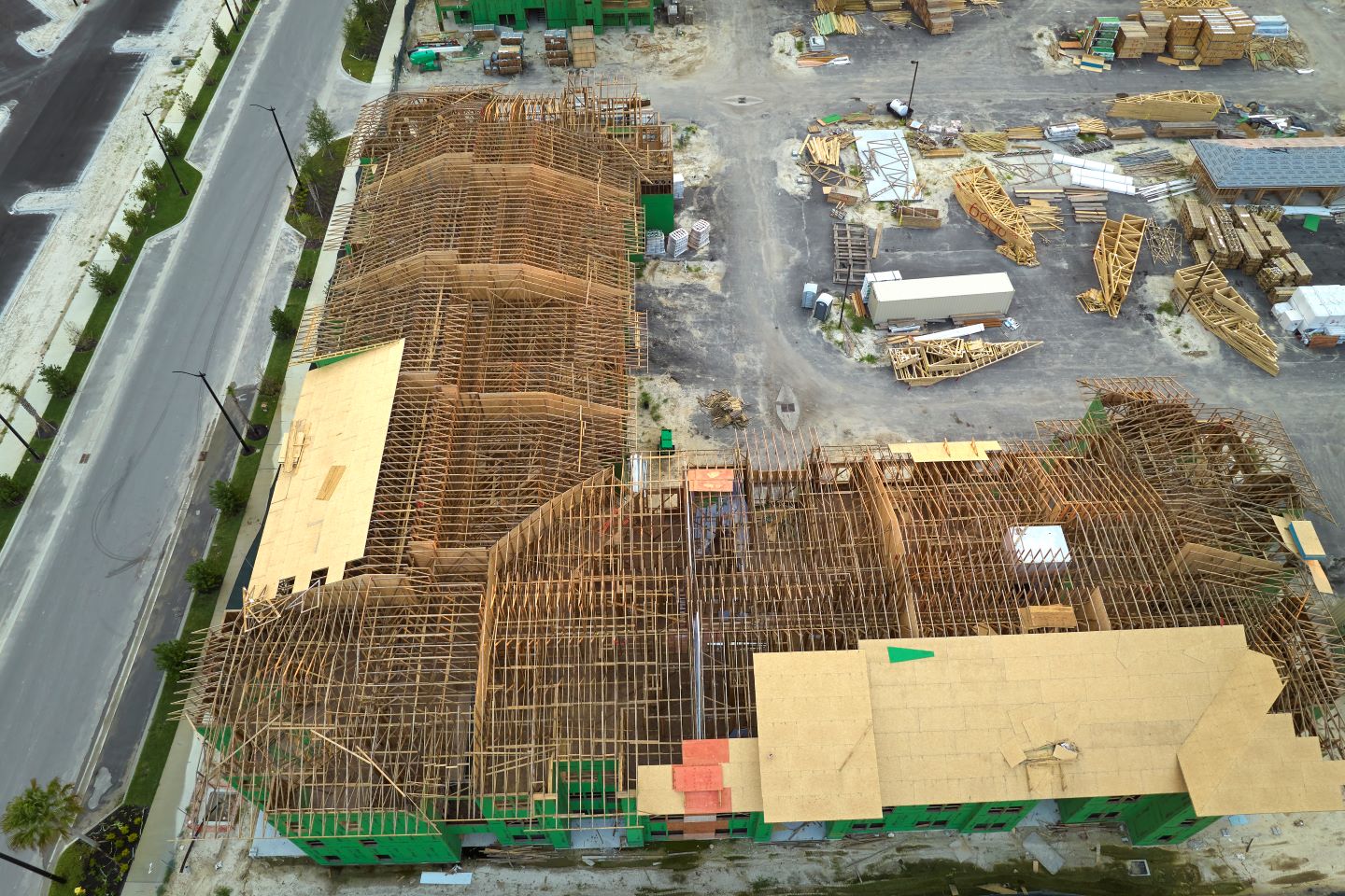
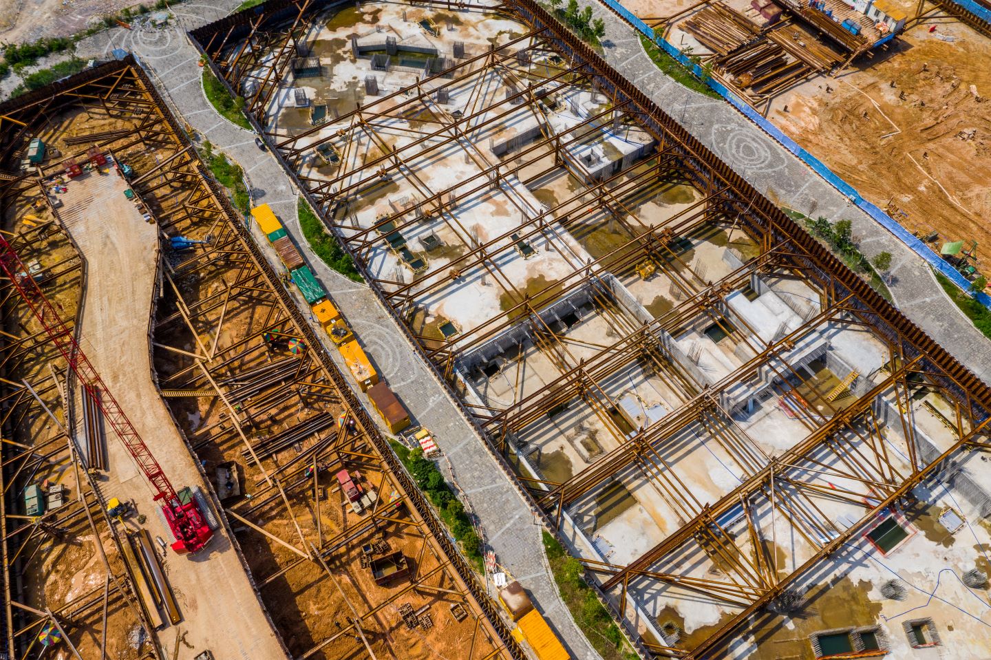
Aerial Photography for Comprehensive Construction Project Insight
// Services
Gaining Insight into Your Project
Aerial Site
Documentation
$55per visit
Low-level, high quality site photos
Video orbit or flyover of site
Orthophotos of site (available by request)
$79/visit for monthly visits
Floor View Spherical 360° Panoramas
$29per floor
Your choice of spherical or standard 360 panorama
Source photos used to make panorama
$29/floor over 20 floors
3 floor minimum
Point Cloud Exterior
Site Map Addon
+45per visit
Interactive, high detail 3D site map (0.4 in/pixel available)
Exportable in LAS and XYZ point cloud file types
$102/visit if ordered individually
// Get In Touch
Contact Us
Book a Shoot Now, contact us using the form below or call
+1 (225) 717-2286
